Survey & Geomatics
Professional surveyors need centimetre-level accuracy they can trust on every point. Our RTK receivers and smart antennas deliver fast, reliable positioning for boundary surveys, topographic mapping, construction stakeout, GIS data collection, and as-built verification — with RTK baselines up to 40 km and Atlas correction support for base-free operation.
Key Challenges
Accuracy & Repeatability
Survey-grade work demands consistent centimetre-level horizontal and vertical accuracy across all site conditions.
Base Station Logistics
Setting up and maintaining base stations adds time and cost — surveyors need flexible correction options including network RTK and PPP.
Harsh Field Conditions
Survey equipment must be rugged enough for all-weather fieldwork while remaining portable for long days on foot.
Data Integration
Position data must integrate seamlessly with GIS, CAD, and survey software through standard formats and coordinate systems.
Our Solutions
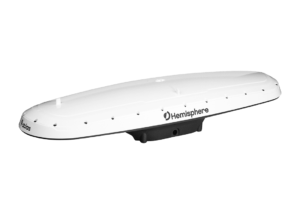
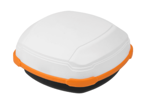
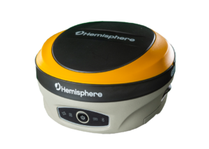
RTK Smart Antennas
All-in-one GNSS smart antennas with integrated receiver, antenna, and radio for single-setup RTK survey.
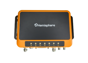
GNSS Receivers
Multi-frequency receivers with Atlas PPP and RTK support for maximum flexibility in correction sources.
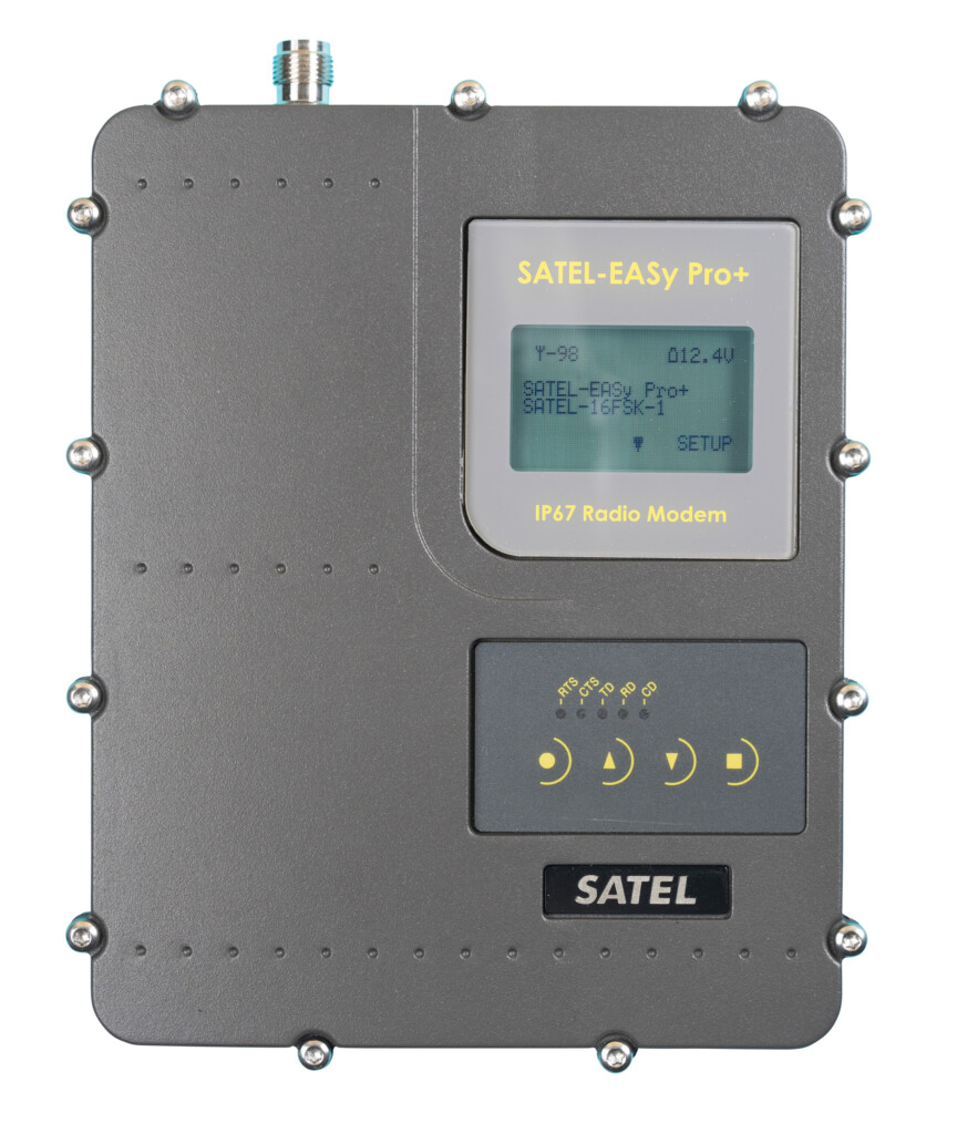
Radio Correction Links
UHF radio modems for base-to-rover correction delivery over long baselines in areas without cellular coverage.
Recommended Products
Tell us your accuracy, environment, and integration requirements and we'll recommend the right hardware and correction approach for your survey & geomatics project.